Cycling with GPS or guidance from the sky
Always on track with GPS! Satellite navigation is a real help to cyclists - the navigation system on the handlebars helps you reach your destination without studying maps. With the GPS unit, you always know exactly where you are and where you are going. But the unit tells you much more than just your current location: current altitude, remaining distance to travel and arrival at your destination are all valuable stats along your tour.
On the pages describing the tours, we also provide you with the relevant details for your GPS unit. Or perhaps you want a bird’s eye view of your tour before you depart? Simply import the KML data into Google Earth and off you go.
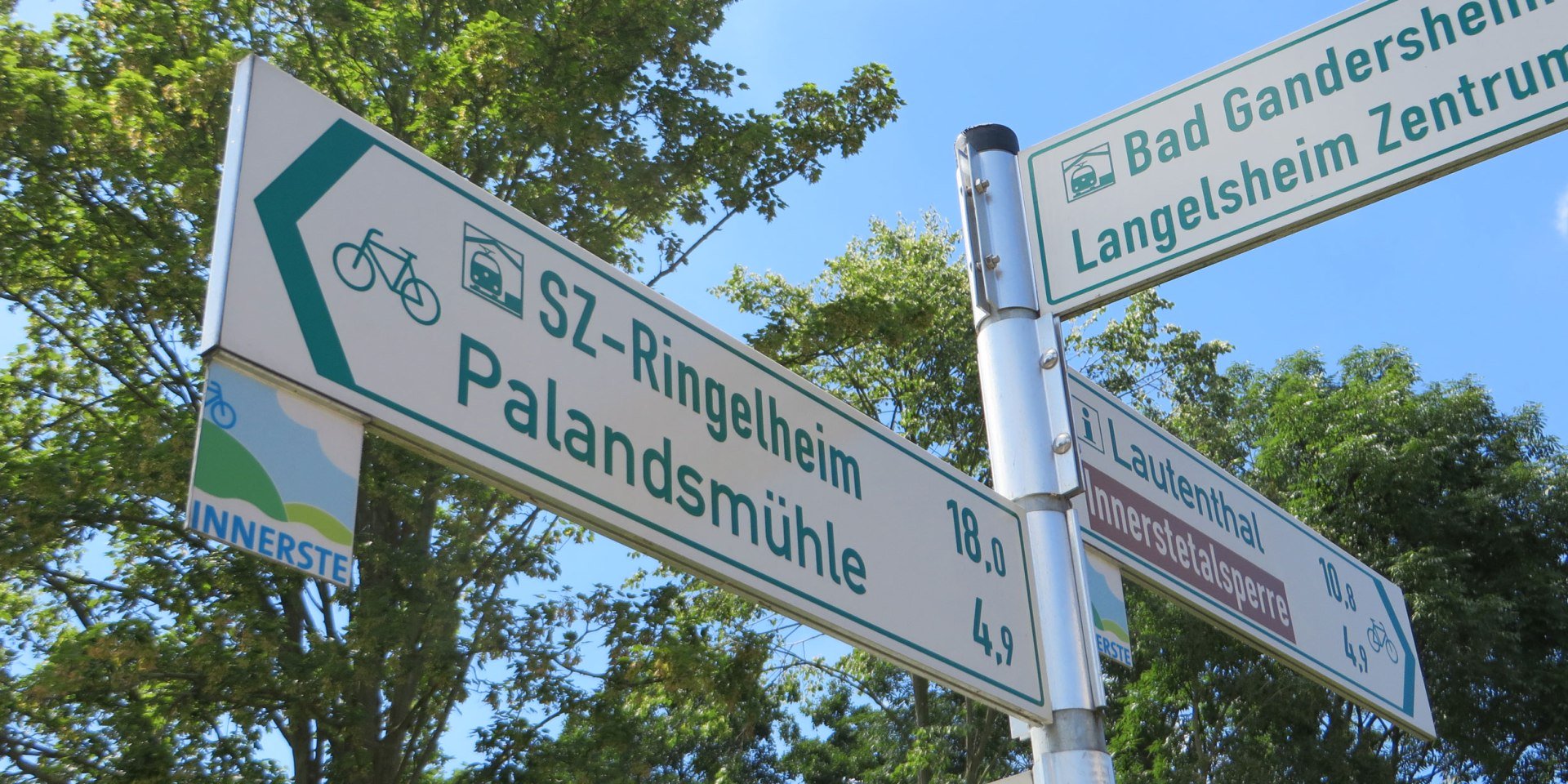
You are never too far from the next sign on the well signposted cycle tours throughout Niedersachsen (Lower Saxony)
Green or red writing on a white background shows you the correct route on your cycle tour through Niedersachsen (Lower Saxony). In most regions between the North Sea and the Harz mountains, you will find signs showing you the correct way on the larger long-distance cycle routes and off the beaten track. Whether you are heading for the next town, the train station or the nearest beach, the signs show you the destination, distance and correct direction. Getting around here is convenient and perfectly possible even without a map.
Looking for a particular cycle tour? No problem! All of the cycle tours we present here have their own route logo which you simply have to follow.


