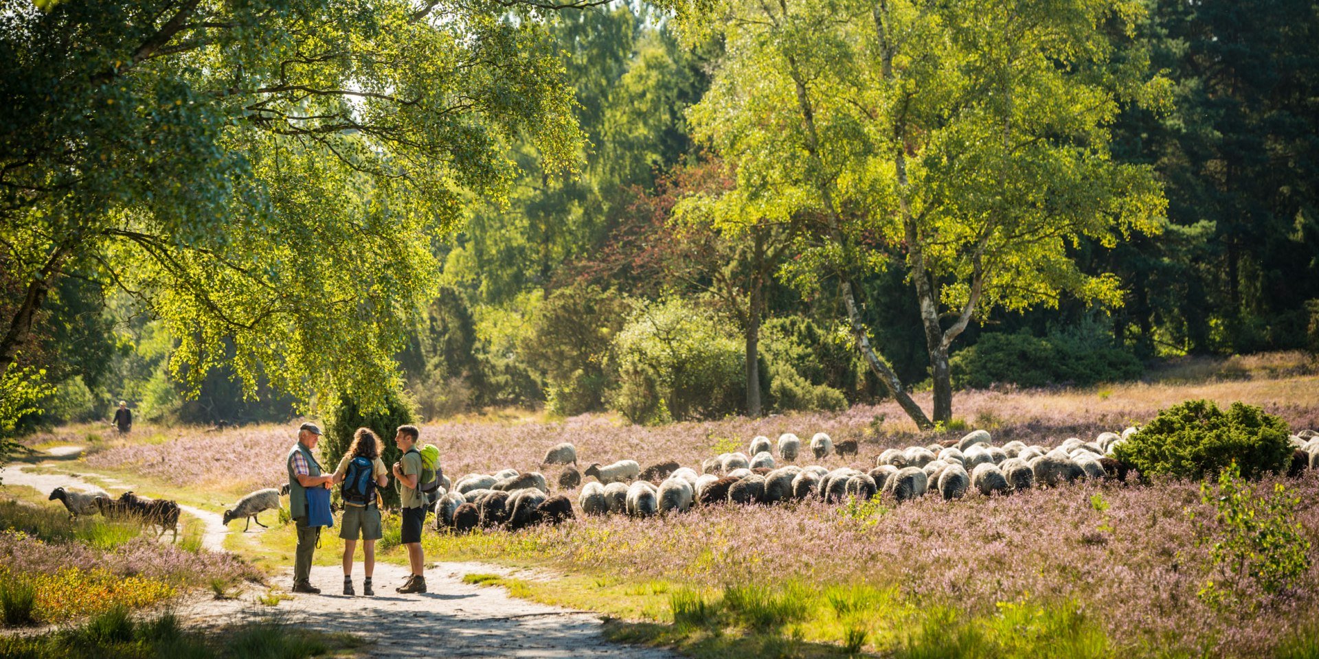
Hikers meet a shepherd in the Lüneburger Heide, © Lüneburger Heide GmbH / Dominik Ketz
© Lüneburger Heide GmbH / Dominik Ketz

Hik­ing tours


Rucksack packed, walking boots laced and off you go on Niedersachsen (Lower Saxony)’s walking routes, which are known for their quality and variety. Short circuits easily manageable in one day are on offer alongside multi-day trips along exciting long distance walking trails. Immerse yourself in the scenery of the moors and heathland, the marshlands and landscapes dotted with hills and mountains on well-signposted and varied hiking routes. The hiking trails are sometimes calming and sometimes spectacular when a panoramic view opens up. A great many spellbinding views and places are accessible only to hikers.

Our tour overview gives you a summary of the best hiking trails available in your region of choice. Including helpful info and lots of insider tips to whet your appetite! There are also GPS tracks available to download for every walking tour.

Many of the circuits and long distance hiking routes are particularly high quality. You will find several of these hiking trails in our designated and particularly stunning hiking areas .

Regions
Level of difficulty
Type of tour
Length
Duration
NORDPFAD Dör`t Moor

NORDPFAD Dör't Moor


  • Type of tour: Circular tour
  • Level of difficulty: easy
  • Tour length: 10 km
  • Highest point: 41m
Wanderer auf dem Hohenstein, © Weserbergland Tourismus e.V / M. Gloger
© Weserbergland Tourismus e.V / M. Gloger

Weser Uplands Route (Weserbergland-Weg)


  • Type of tour: Straight-course tour
  • Tour length: 219 km
  • Highest point: 505m
Herbst im Waltersbachtal, © GeTour GmbH
© GeTour GmbH

The delightful Waltersbachtal


  • Type of tour: Circular tour
  • Tour length: 6 km
  • Highest point: 205m
Hikers around Torfhaus in the Harz Mountains, © Harzer Tourismusverband/ M. Gloger
© Harzer Tourismusverband/ M. Gloger

Harzer-Hexen-Stieg (Harz Witches' Trail)


  • Type of tour: Straight-course tour
  • Level of difficulty: medium
  • Tour length: 94 km
  • Highest point: 1132m
Kuhmühler forest, © Touristikverband Landkreis Rotenburg (Wümme)  e.V./ Udo Fischer/ Petra Welz
© Touristikverband Landkreis Rotenburg (Wümme) e.V./ Udo Fischer/ Petra Welz

Nordpfad Kuhbach-Oste


  • Type of tour: Circular tour
  • Level of difficulty: easy
  • Tour length: 10 km
Ahornweg, © Natur- und Geopark TERRA.vita
© Natur- und Geopark TERRA.vita

Ahornweg


  • Type of tour: Circular tour
  • Level of difficulty: easy
  • Tour length: 103 km
  • Highest point: 330m
Huvenhoopsmoor, © Touristikverband Landkreis Rotenburg (Wümme)  e.V./ Udo Fischer
© Touristikverband Landkreis Rotenburg (Wümme) e.V./ Udo Fischer

Nordpfad Ostetal


  • Type of tour: Circular tour
  • Level of difficulty: easy
  • Tour length: 31 km
Wanderer auf dem Nordpfad, © touristikverband Landkreis Rotenburg (Wümme)
© touristikverband Landkreis Rotenburg (Wümme)

Nordpfad Hölzerbruch Malse


  • Type of tour: Circular tour
  • Level of difficulty: easy
  • Tour length: 31 km

Unfortunately your search did not yield any results.


Filter
Regions
Level of difficulty
Type of tour
Length
Duration