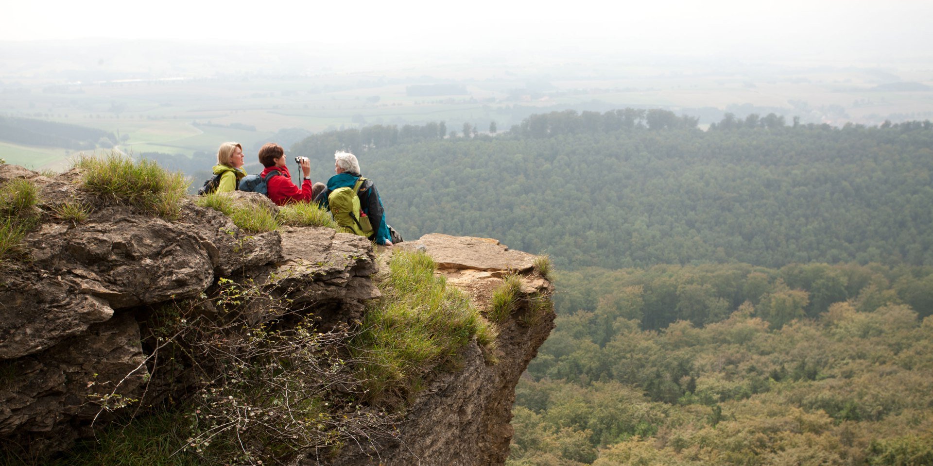
Wanderer auf dem Hohenstein, © Weserbergland Tourismus e.V / M. Gloger
© Weserbergland Tourismus e.V / M. Gloger

Weser Uplands Route (Weserbergland-Weg)

Ascent
5123 m
Descent
5186 m
Distance
219 km
highest point
505 m
Type of tour
Straight-course tour
Recommended month:JFMAMJJASOND
Recommended months for a hike: Optimal

The 225 km Weser Uplandsweg route (Weserbergland-Weg) starts at the source of the Weser river in Hann. Münden and ends at Porta Westfalica. It was certified as a “Qualitätsweg Wanderbares Deutschland” (Premium Route by Wanderbares Deutschland) back in autumn 2012. The route takes hikers past romantic castles and palaces, historic old towns and through enchanting nature.

Unfortunately your search did not yield any results.

Insider-Tip

The newly built “Wald-Wohnzimmer” (Forest Living Rooms) on the Weser Uplandsweg hiking trail, which are decked out with forest sofas and benches, will create a feeling of serenity. You, too, can break new ground on a hiking tour.

Logo Weserbergland weg

Signage

The Tour is continuously signposted with this standardised logo.

In­form­a­tion


Arrival and departure

There is a station at the starting point and final destination, so it is easy to get to and leave the Weser Uplandsweg trail by train. You can find detailed information on connections and timetables (in German) at www.weserberglandweg.de. Tip: take advantage of Deutsche Bahn's Niedersachsenticket deal.

The specifics of the tour

The new green/blue XW route logos offer hikers an excellent overview and guidance.

Further reading and suggested maps

Weser Uplands-Weg service booklet: a practical companion when out and about! Order your free copy now from Weser Uplands Tourismus!

GPS tracking data with up-to-date maps can be downloaded from here.

your contact

Weserbergland Tourismus e.V.

Deisterallee
31785 Hameln
Phone: +49 (0) 5151 / 93000

websiteE-Mail